If you’re like me, you’re looking for something to pass the time during this global pandemic. Fancy yourself a seasoned wanderer? Or just a new hiker looking for a challenge? Why not give the Dobson Trail a go?
Initially developed in 1959 by Dr. Art Dobson, this trail has attracted many trekkers ranging from young to old and from novice to experienced looking to complete the 58km footpath leading from Riverview, New Brunswick all the way to the Fundy National Park.
Something that may interest you? If so, be sure to give my tips and tricks a quick read to ensure your comfort and success along the way!
The Dobson Trail
Distance : 58km
Difficulty : Moderate to strenuous
Duration : 3 days
Markers : Blue Blazers
Trail Condition : Good with some rocky and boggy areas
Cellphone Coverage : Partial
1. PARKING
People seem to favour starting in Riverview and finishing in the Fundy National Park (near Alma). Whichever you choose, there is parking available at either end of the trail.
Riverview’s parking has lots of space, good foot traffic, and is easy to find. There is no cost for parking here.
The parking lot in Fundy can be a bit more trickier to find because it’s located a little further from the official “end” of the Dobson Trail. If you park here, factor in an additional 2.5km onto your 58km hike. From what I’m told, there is no cost for parking here since it’s located outside of the park limits.
2. TREKKING
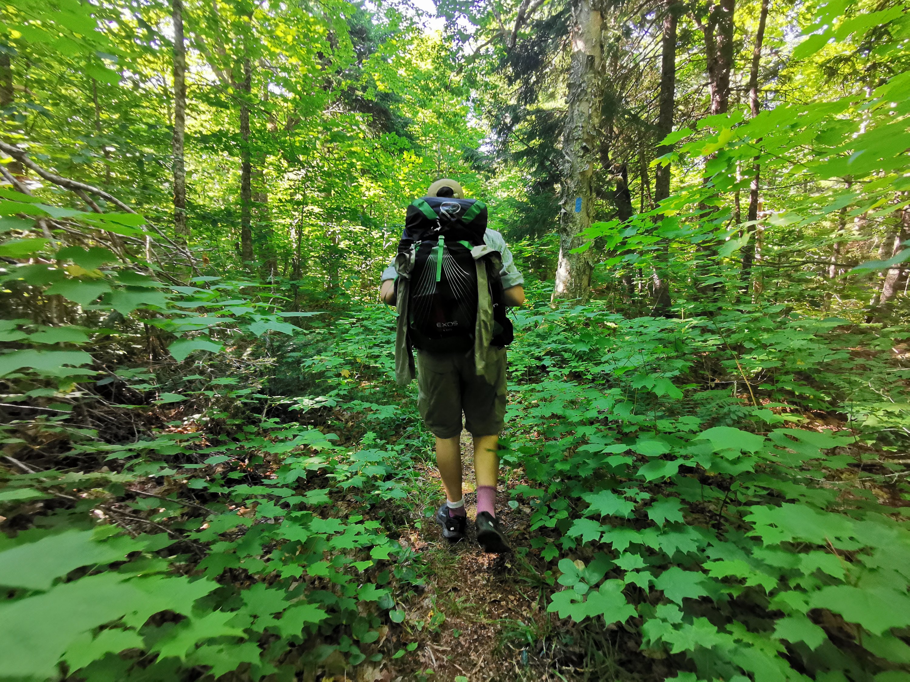
Allow yourself a comfortable three days to complete this trek. Distance is easy to calculate since every kilometers is marked along the entire trail (starting from Riverview).
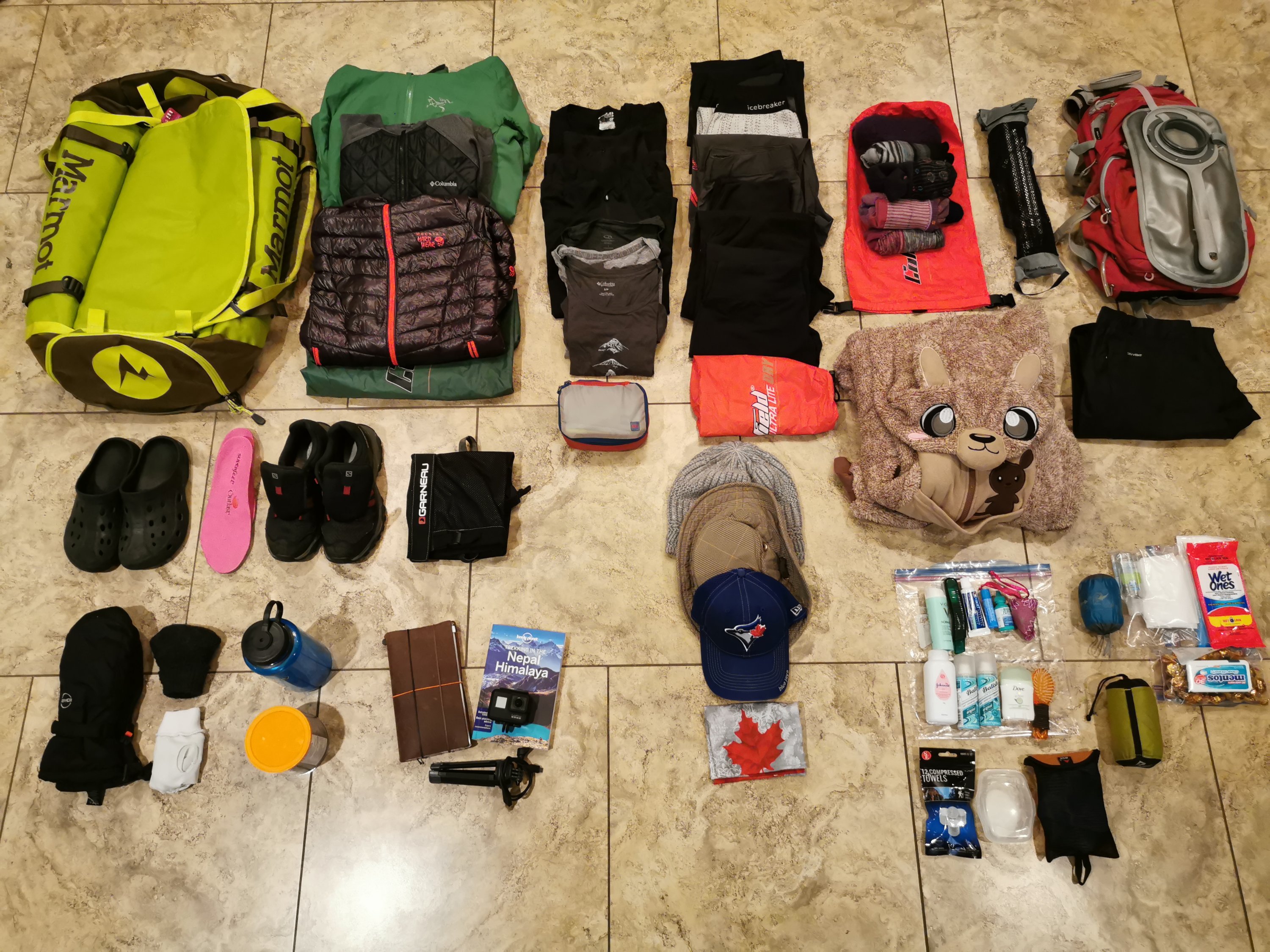
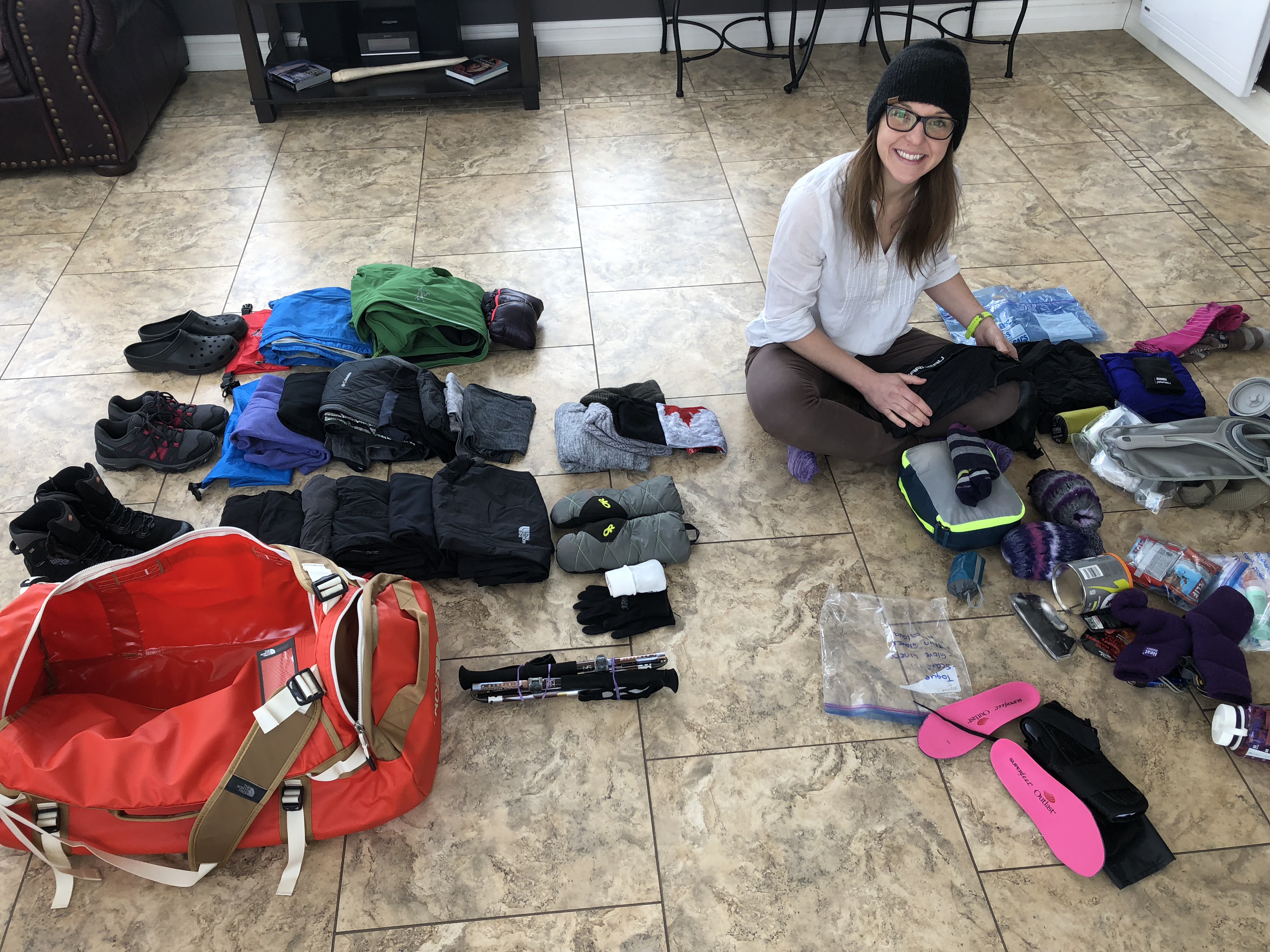
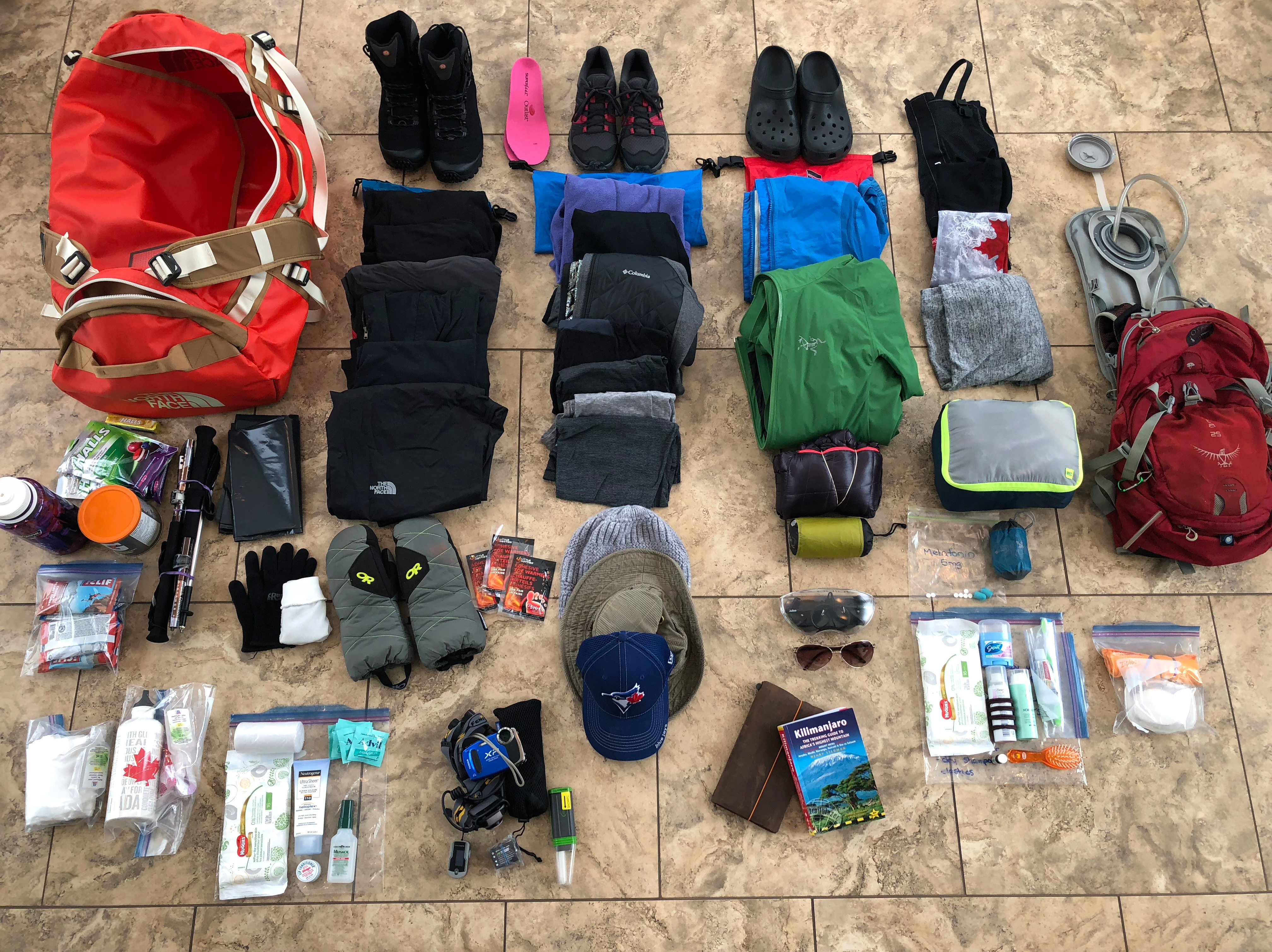
You can manage this hike in hiking boots or shoes, depending on your personal preference and how much weight you plan on carrying. The terrain varies from gravel roads, forest, to bogs so have a backup plan for wet feet.
3. CAMPING
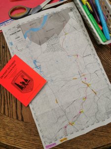
Camping is permitted throughout the entire length of the trail; however, there are some designated areas that are specifically cleared for tenting and have a fire pit with seating available. These sites are indicated with a tent icon on the trail map that’s included in the guidebook.
Our two favourite camping sites were Hayward Pinnacle (approx. 38km) and Blackwood Lake (approx. 48.4km).
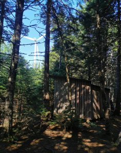
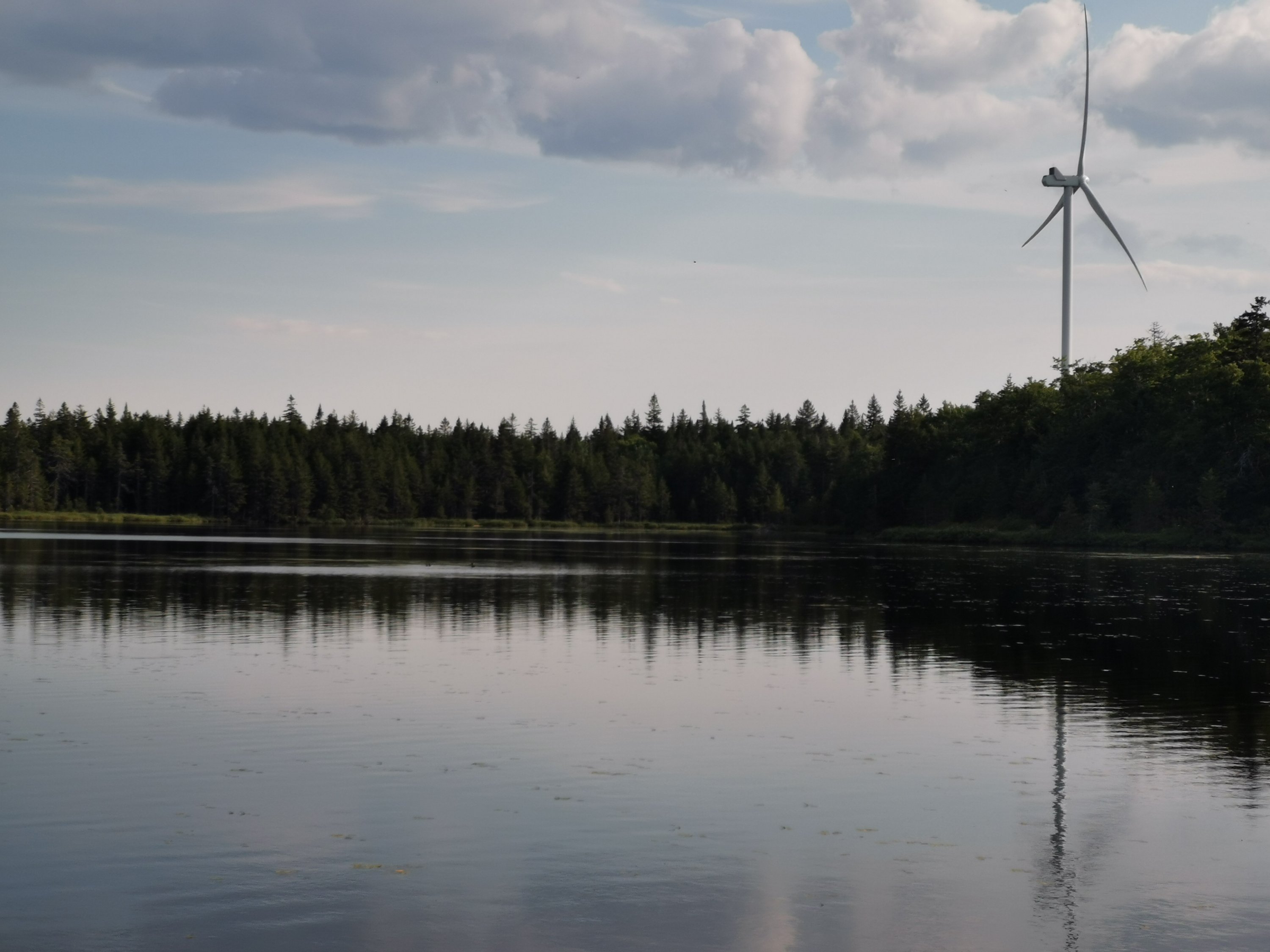
Hayward Pinnacle is a cleared area with a small, wooden shelter located next to a spring. There are multiple tenting sites, along with a fit pit, benches, and chopped wood. Our favourite part – it’s situated within close proximity to one of the many wind turbines so we were able to fall asleep to its constant and soothing drone.
Blackwood Lake is quite stunning. There are multiple tenting sites along the edge of the lake, along with a picnic table and two firepits. This site is 10km from the finish so it allows for a nice, short hike on your final day. Perhaps leave your speedo behind though because I’ve been told the lake has leeches!
4. WATER
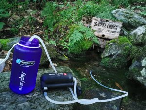
Most camping sites are situated near a water source; however, there are some options along the way as well (depending on the time of year).
I used a Katadyn Water Filtration System and would highly recommend it. It’s light-weight and allows versatility to drink from any water source.
5. NAVIGATING
Get the guidebook!! You NEED the guidebook!!!! This trail frequently jumps off larger trails onto smaller foot paths so it’s VERY easy to lose the trail without the guidebook (actually, it’s even easy to lose it with the book if you are not paying close attention).
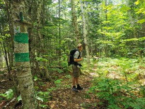
The trail is marked with ‘blue blazers’, which are blue lines painted vertically on trees. If you lose sight of these markers … you are likely no longer on the trail.
Horizontal green lines indicate the kilometer markers. There are indicators for nearly every kilometer along the way, starting from Riverview.
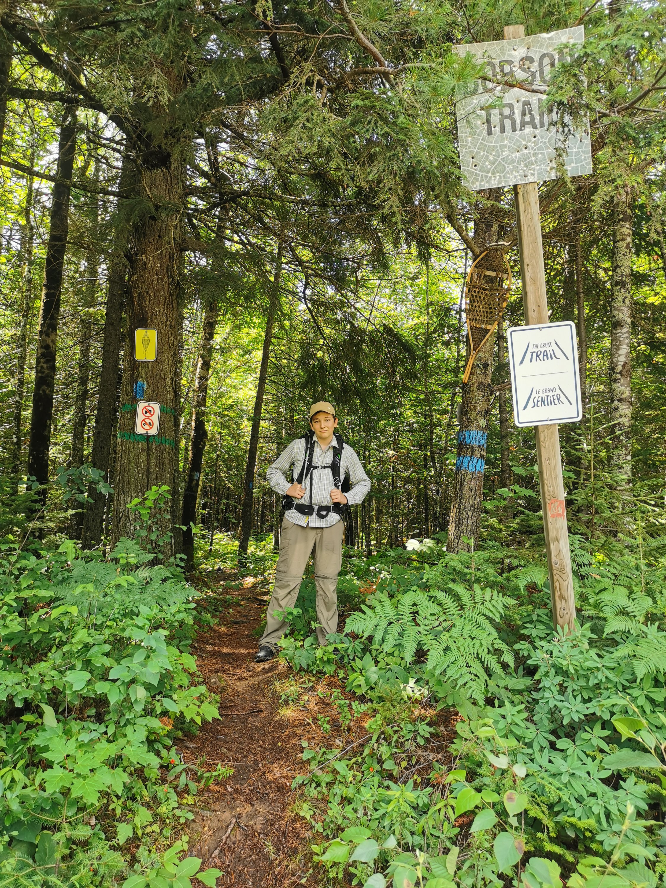
NOTE : The trail eventually connects with a paved road (Osborne Corner Road), which you will follow until you meet a dirt road called Levy Road. Follow your guidebook very carefully here because there is a random trail with blue Blazers on the left which, for reasons unknown, circles you back to Osborne Corner. You need to walk PAST this section, all the way to where Levy Road has a sharp bend in the road. Here, you will enter the woods on the left at a sign marked Dobson Trail (see the picture below). These directions are detailed in the guidebook.
6. HIGHLIGHTS
- The trail passes close to the windmills, which are very impressive.
- The camping sites are clean and well maintained with adequate clearing for tents and fire pits.
- The trail meets up with roads accessible by car if you need someone to bring you items (like insoles … or pizza).
- This is one of the few multi-day hikes available in NB.
- Bragging rights.
7. LOWLIGHTS
- The trail is not overly scenic.
- The terrain can be quite boggy so you have to be very mindful of your footing since logs and rocks are quite slippery.
- This trail is very difficult to hike without the guidebook, which you can purchase for approximatley $25 in some stores (Ocean Trails, Jean Coutu Riverview, etc) or online (https://www.hikingnb.ca/Trails/FundyEast/Dobson.html).
- The trail frequently jumps off larger trails onto smaller foot paths so it’s quite easy to lose the trail.
- Large sections of this trail consists of walking along dirt roads.
CONCLUSION
There are a lot of mixed reviews of the Dobson Trail. In order to not be overly disappointed with your experience, hikers should invest in the guidebook, have realistic expectations, be properly prepared, and be mindful that this trail is maintained solely by volunteers.